
Around the island
Tap a spotHolyhead
Holy IslandCaergybi
Ferry port and breakwater on the western tip of Holy Island.
The tide is falling (ebbing) right now.
Tide times · Holyhead
Predicted height relative to mean sea level. Hover the curve for any moment.
Thursday 29 October
- High10:37+1.5 m
- Low17:18-2.5 m
- High23:12+1.6 m
Friday 30 October
- Low05:45-2.3 m
- High11:37+1.4 m
- Low18:15-2.3 m
Saturday 31 October
- High00:22+1.0 m
- Low06:37-2.1 m
- High12:37+1.1 m
- Low19:12-2.2 m
Whole-island overview
Every spot at a glance. Select a row to see its full tide curve.
| Location | Next high | Next low | Sea | Air | Weather | Wind |
|---|---|---|---|---|---|---|
Holy Island | 23:12 | 17:18 | 13.7°C | 14°C | Overcast | 13 mph S |
North coast | 00:04 | 17:52 | 13.7°C | 14°C | Overcast | 11 mph S |
North coast | 00:07 | 18:07 | 13.6°C | 14°C | Overcast | 10 mph S |
Menai Strait | 00:09 | 18:22 | 12.2°C | 14°C | Overcast | 5 mph S |
South coast | 22:30 | 17:12 | 13.0°C | 14°C | Overcast | 10 mph S |
West coast | 22:37 | 17:17 | 13.6°C | 14°C | Overcast | 13 mph S |
Holy Island | 23:12 | 17:18 | 13.7°C | 14°C | Overcast | 15 mph S |
The next few days
- Chance of rain
- 49% rain
- Max wind
- Up to 14 mph
- Sunrise and sunset
- 07:1116:52
- Chance of rain
- 0% rain
- Max wind
- Up to 15 mph
- Sunrise and sunset
- 07:1316:50
- Chance of rain
- 1% rain
- Max wind
- Up to 10 mph
- Sunrise and sunset
- 07:1516:48
- Chance of rain
- 4% rain
- Max wind
- Up to 17 mph
- Sunrise and sunset
- 07:1616:46
Crossing the Menai Strait
Live traffic alerts for the two bridges onto the island, including closures, roadworks and wind restrictions.
Britannia Bridge
Pont Britannia
The main dual-carriageway route on and off the island, and the one HGVs use. High winds bring speed limits and closures.
Menai Suspension Bridge
Pont Grog y Borth
Telford's 1826 bridge into Menai Bridge town. It is the diversion for vehicles under 7.5 tonnes when the Britannia Bridge shuts.
Britannia Bridge guidance: No wind restrictions expected
Traffic Wales sets limits above 30, 40, 63 and 70 mph using its own sensors on the bridge, so the live alerts are what count.
Traffic alerts from Traffic Wales, Welsh Government. Wind forecast from Open-Meteo.
Ships around the island
Live vessel positions from AIS. Tap the map to pan and zoom, or tap a ship for its name and status.
Map and ship data by VesselFinder. Small craft without AIS won't appear, and positions can lag by a few minutes.
Planes above the island
Live aircraft within 30 nautical miles of Anglesey, updated every 15 seconds. Most are airliners on the routes between Ireland and England. Military jets from RAF Valley often don't broadcast their position, so they may not show.
- Under 5,000 ft
- 5,000–15,000 ft
- 15,000–30,000 ft
- Over 30,000 ft
- On the ground
Looking for aircraft…
Aircraft positions from adsb.lol, open data under the ODbL.
Birds at South Stack
Species recorded on the cliffs and heath around the RSPB reserve in the last 90 days. These are sightings people chose to report, not a count. Seabird numbers peak from April to July, when guillemots, razorbills and puffins nest.
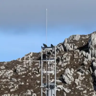
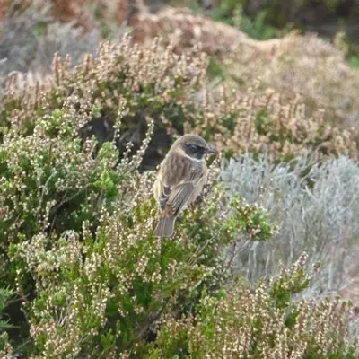
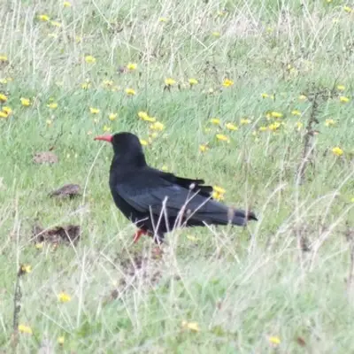
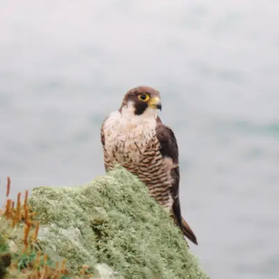
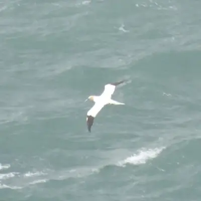

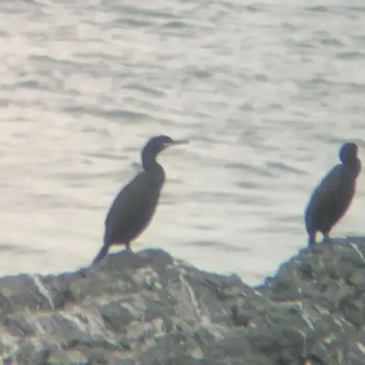
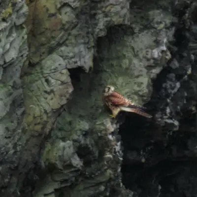


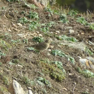



Sightings and photos from iNaturalist contributors, used under their chosen licences.